John L. Bell
The Road to Concord
The first interview in the History Camp Discussion series, J. L. Bell, discusses his research into Revolutionary Boston, including countering some often-repeated “facts” about the events that led to the shots fired at Lexington and Concord, and how he discovered those two long-forgotten canon in Boston and Watertown a few years ago.
The following were mentioned in tonight’s program:
1775 map of Boston and Charlestown
Montrésor, J. (1775) A draught of the towns of Boston and Charles Town and the circumjacent country shewing the works thrown up by His Majesty’s troops, and also those by the rebels, during the campaign. [Map] Retrieved from the Library of Congress, https://www.loc.gov/item/gm71000916.
1775 map of Boston and the road to Concord
De Costa, J. & Hall, C. (1775) A plan of the town and harbour of Boston and the country adjacent with the road from Boston to Concord, shewing the place of the late engagement between the King’s troops & the provincials, together with the several encampments of both armies in & about Boston. Taken from an actual survey. London. [Map] Retrieved from the Library of Congress, https://www.loc.gov/item/gm71002447.
[Recorded April 16, 2020.]
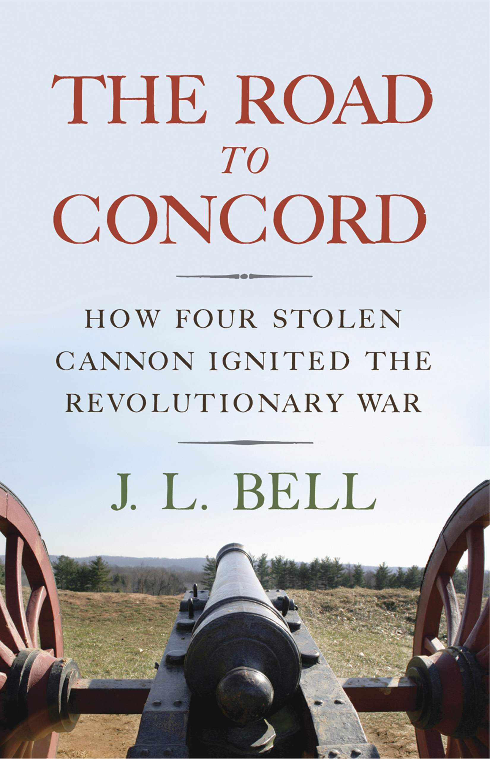

J. L. Bell is the proprietor of the Boston 1775 website (boston1775.blogspot.com), providing daily helpings of history, analysis, and unabashed gossip about Revolutionary New England. He is the author of The Road to Concord: How Four Stolen Cannon Ignited the Revolutionary War, a book-length study for the National Park Service about General George Washington in Cambridge, Massachusetts, and numerous articles and book chapters.

